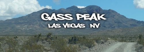
Hiking Gass Peak
We have spent a good amount of time in the desert. From the canyons in Anza Borrego we headed to the Skate Parks in El Centro and Palm Springs. We enjoyed the California deserts then decided to check out some of the desert adventures in Nevada. We spent some time boondocking and hiking at Desert National Wildlife Refuge which is about an hour north of Las Vegas. The Refuge is a great place to find peace, solitude and adventure among a beautiful desert landscape. While checking out the Desert National Wildlife Refuge, we hiked to the top of Gass Peak.
Gass Peak has an elevation of 6,937 feet making it the highest in the Las Vegas Range. The hike is a 6.5 mile hike round trip.
Directions:
To get to the Visitor Center, take the US 95 north of Vegas onto Corn Creek Rd. From the Visitor Center, turn right onto Mormon Well Road. This road is extremely rough, it seems as if the entire road is made of small boulders. Drive 4 miles to Gass Peak Road. Turn, and follow Gass Peak Road for about 8 miles. Park at the trailhead on the right.
Hiking Gass Peak
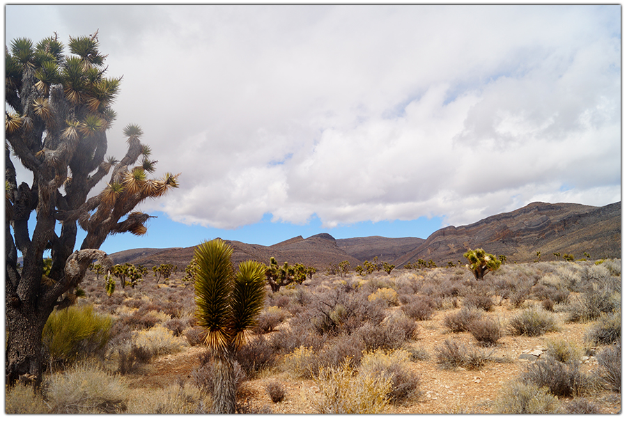
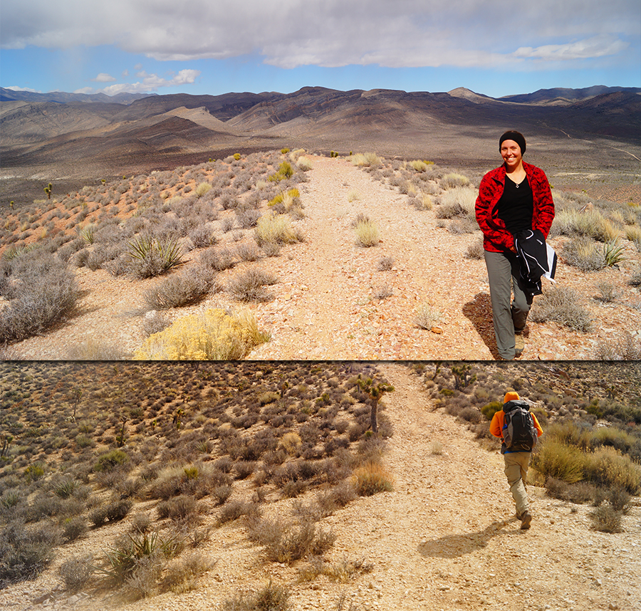
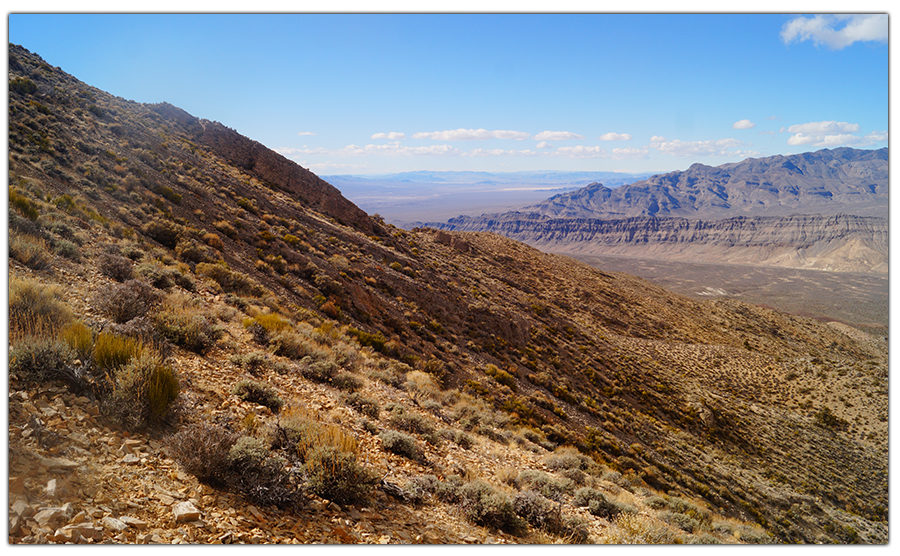
The trail starts by following an old service road through the Joshua Trees and Yuccas. The hike is pretty steep, and the quick gain in elevation reveals the vastness of the desert. The day we hiked was partially cloudy and cold. The brisk air felt cold and clean on this side of the mountain. The brown dirt of the road contrasts beautifully with the green of the plants in this area!
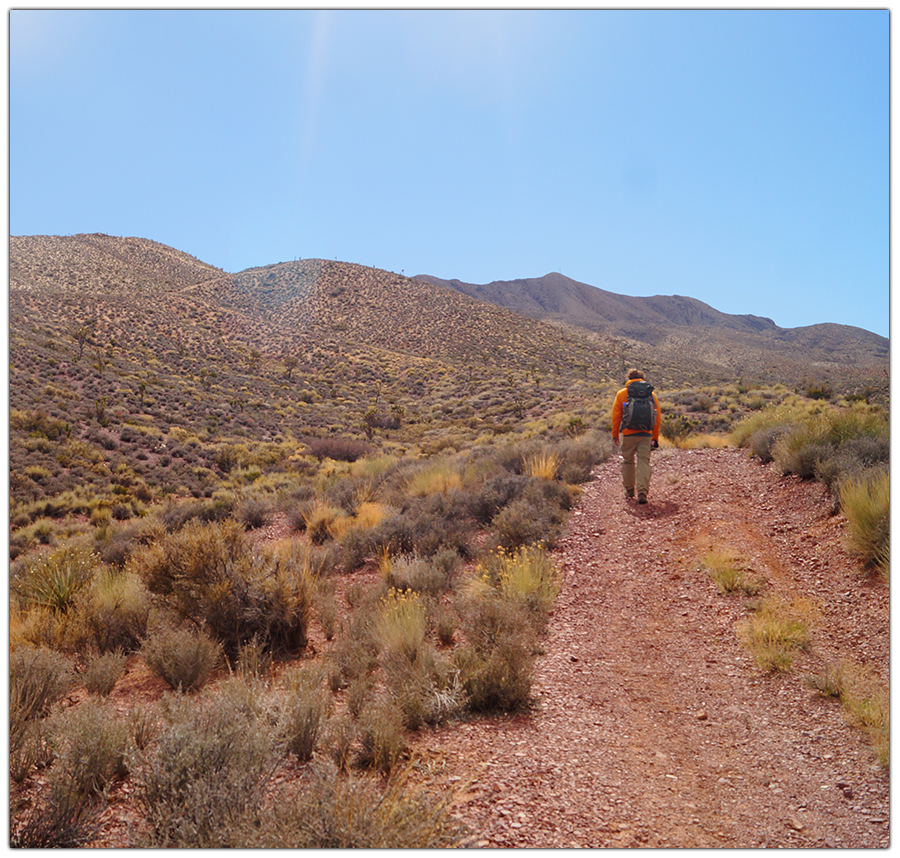
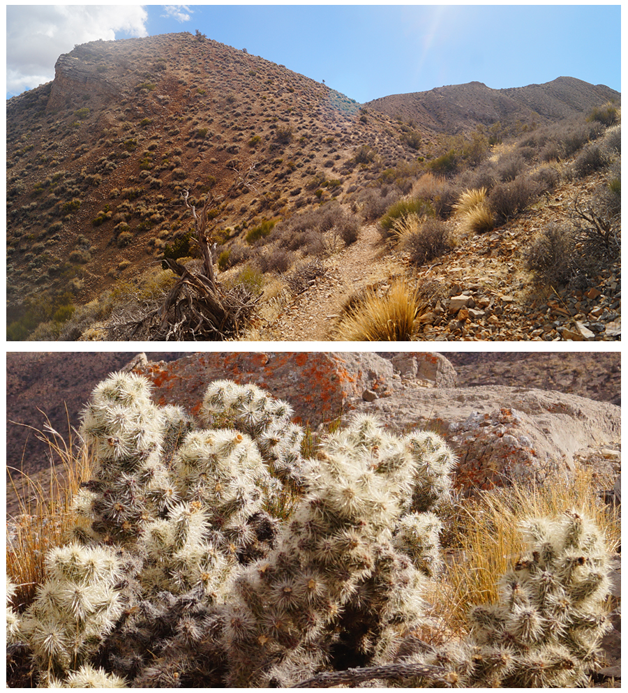
Eventually, the service road turns into more of a single track hiking trail. The trail continues up hill and the surrounding views are stunning. From here we could easily see over the desert and to the next mountain range.
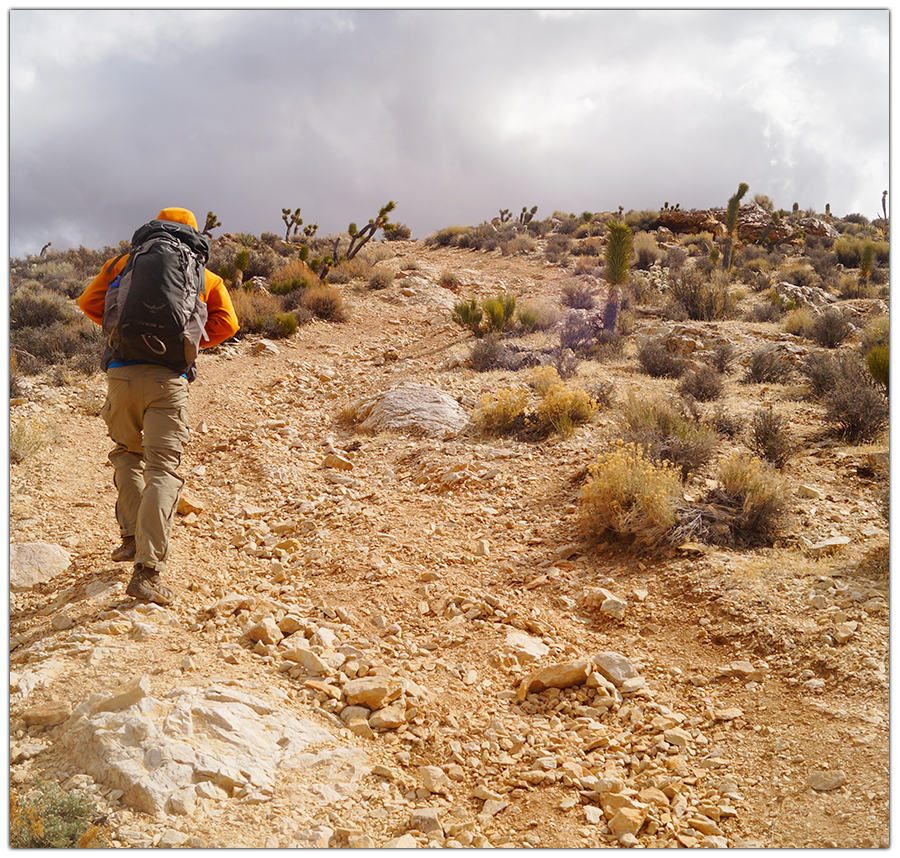
Some parts of the trail are very steep!
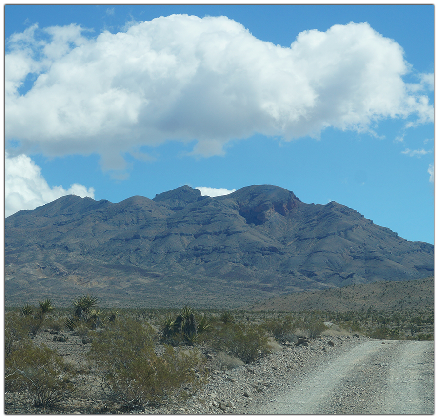
The trail follows the saddle to the ridge that eventually leads you to the top of Gass Peak. It ends at some solar panels and some radio towers.
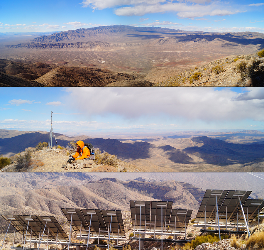
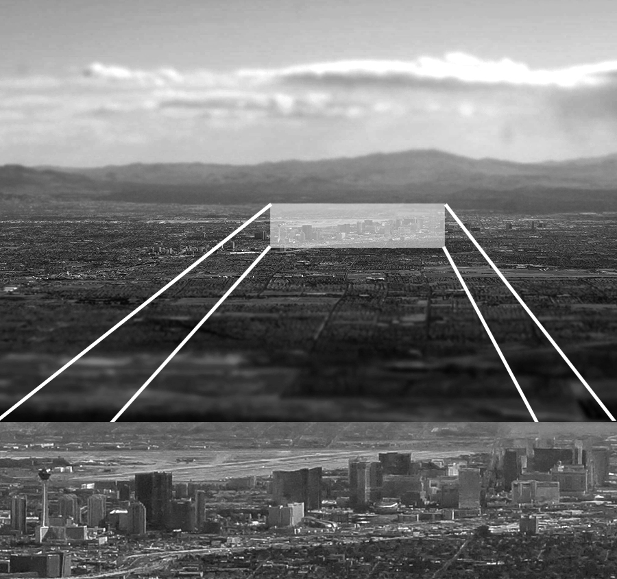
From the top, the panoramic views are very rewarding! The city of Las Vegas can be seen to the south and the tall hotels and casinos on the strip even stand out from here. Further, Lake Mead also makes an appearance.
The other direction is an impressive view of the vast wilderness and numerous mountain ranges that surround the area. We took time to absorb the beauty and sign the registry then headed down the way we came.
Thanks for Your Support!
Thank you for reading about our Gass Peak experience! If you’d like to see more of the adventures we had in the area, check out the articles below:
- Hiking Hayford Peak
- Goldstrike Hot Springs
- Arroyo Grande Pump Track in Henderson
- Longboarding the Wetlands Loop Trail
Thank you for supporting The Lost Longboarder! You can show your support by picking up some hand crafted longboarding gear at our Lost Coast Longboarding shop!

If you don’t feel like buying a new longboard today, but still want to show your support you can still help by shopping on Amazon as you normally do!